

This time while visiting South Africa, we decided to get off in Joburg to visit a friend before heading down to my family in Cape Town. She suggested we do one of her favourite hiking trails in Mpumulanga over the weekend: the Suikerboschfontein 2-day hiking trail. The hike was wonderful and I’d highly recommend everyone try it!
Day 1: Everybody Likes to Chat
We arrived at OR Tambo international in Johannesburg after a long flight. After putting our big suitcases in storage, we took a taxi to meet a friend for lunch in Morningside. Welcome to SA and bright sunshine – it felt surreal to be there. Joburg is greener than I expected (to Capetonians, Joburg sounds like the wild West). We were meeting our other friend – let’s call her Vaalie as she nicknamed herself once – at Sandton city later in the day after she was done with work, so we took an Uber ride to Sandton city. It’s huge.

We were tired from the flight, but managed to buy a few outdoor things we’d forgotten to pack. Over the course of the day the day we chatted to various people: the taxi driver, people in the shops, etc. Everyone was hopeful about our new president, and the future of South Africa. Vaalie picked us up at 6 and we went shopping for food for dinner and for the hike, then we watched the end of the state of the nation address by our new president while eating biltong and drinking red wine. After dinner we prepared sandwiches for the first day of the hike, then fell into a blissful slumber, exhausted by our travels.
Day 2: Awoken by a Dawn Chorus
From about 6 to 7am (from sunrise) a plethora of birds sang their hearts out, and I awoke to this dawn chorus. The birds quietened down again at about 7am, which was when we had to get up to prepare for our drive to Magaliesberg. First we enjoyed breakfast – it felt so relaxing to have sunshine outside and see the variety of birds flitting around in the green gardens of the complex. I read Vaalie’s book on Nguni cattle while eating breakfast. Nguni cattle are a breed special to Southern Africa, and they have a variety of colour patterns and horn shapes. They are beautiful cattle, and the book was about their important role in Zulu society, and the poetic names for the different coat patterns of the animals. My favourite one translated as “the gaps between the branches of the trees silhouetted against the sky”.

After packing all our stuff, we headed off to Carolina, a town in the Mpumulanga province. I took photos of the street sign for my friend Carolina. The hike is on a farm just outside of the town, and when we arrived we soon saw some cattle. We were fascinated by the ones with humps, which we found out are called Brahman cattle. They originated in India, and like camels, they store water in their humps, are adapted to hot conditions.

When we arrived at our overnight huts to drop our things off, I knew I was going to love the hike. The camp was designed all around boulders, and our little hut was tucked away in the rocks like a magical mountain home. To get to it we had to walk up a rocky path, and another rocky path led to the bathroom building. Next to the bathroom was a donkey for heating the water. A “donkey” is a tank above a fire containing water, so you light the fire to hear the water. In the centre of the camp were areas for braaing (barbecueing), sitting and doing dishes, and we met the other hiking group doing the trail that weekend. They were a much larger group than us and had already finished the first day’s walk when we arrived around lunchtime as they’d arrived on Friday night. There are also shorter hiking trails at Suikerboschfontein, and we heard the next day that some of them did another shorter hike that afternoon.

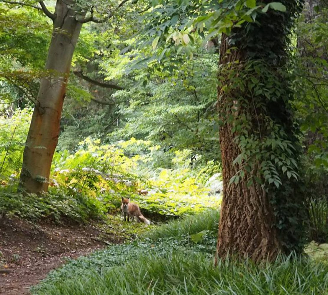
After a quick lunch in the hut, we drove to the beginning of the hiking trail and left our car there. The first day’s hike takes 4-5 hours. The trail starts off meandering down a grassy hill, with views down over the gorge. You head down, crossing through bits of indigenous forest, and the path then goes up and down quite a bit, with changing views and interesting rocky parts to clamber over. At one point there’s a detour to a rocky climb up to Baboon Hotel, but we didn’t have time to go up there. Our friend said it’s relatively tricky. At some point you cross the river, and there’s a lovely pool where you can have a dip or just watch the frogs.


 Not long after that, you arrive at the archaeological remains of stone-walled settlements, thought to be built by local tribes about 400 years ago. On the Mpumalanga escarpment are many of these stone structures, which are thought to be the remains of an intensive farming system including cattle kraals and stone terracing for agricultural purposes. The settlements also seem to connect to systems of long distance trade to the coast. In the first and early second millenium AD, the Dravidian people of South India came to trade for gold and other metals with the locals. The particular building on the trail has come to be known as the Dying Sun Chariot temple, as apparently the front arch faces the place where the sun sets on the winter solstice. The name was given because a historian thought the building may have built by the Dravidians, but archaeologists have concluded that they were built by locals. We arrived at the perfect time considering the building’s name, with the late afternoon sun shining through the ruins.


For some reason there are a lot of big ants in this section of the hike, running in all directions on the path. I’m not a fan of ants, so I made sure to make each step a quick one so they couldn’t run up my legs. We continued to climb up, through forest and rock, eventually arriving at the rocky area in which the camp huts were built.


Back at the camp, we had a wash while the donkey water was still hot and then went to braai our food. The other hiking group had already made fires and eaten, and they kindly shared both their fires and some cooked vegetables. we cooked boerewors (a local sausage spiced with cumin, coriander and pepper, usually made from beef) and chicken kebabs. Everything always tastes better on the braai. We also made some braaibroodtjies out of our leftover sandwiches, which we planned to eat the next day for lunch. Everyone sat around together by the fires, chatting. Above us, the entire milky way was visible. After the other group had gone to bed, we sat a while and looked at the stars, then headed off to bed ourselves.


Day 3: Climbing down waterfalls
We had to get up early, because this day’s hike was also 4-5 hours, and we had to catch a plane to Cape Town at around 5pm from Joburg airport, which was about 2.5 hours away. After a picnicy sort of breakfast involving bananas and biscuits, we started packing our stuff. To my horror, ants had invaded our braaibroodtjies, so we couldn’t have those for lunch. We had enough other snacky things to eat though. We set off from the camp, and those of the other group who were doing the second part of the hike followed closely behind. Soon they caught up, so we more or less hiked with each other, which was enjoyable as they were a nice group of people. The first part of the hike involved a bit of boulder hopping, then the path evened out and we set off across a plateau.

 Before long, we got to the gorge. It was a spectacular sight, as you could see the high rock walls of the gorge and the indigenous forest below. After passing alongside the gorge for a bit, the path headed down next to the river through the forest.

 As the river headed downhill there were numerous waterfalls on our route. Some places were quite slippery and all three of us slipped and fell at least once on moss-covered rocks. There are ropes to help you traverse certain sections and wooden ladders to climb down over pools next to waterfalls. It’s quite an adventurous trail and very beautiful.


 After heading down for a while, you head away from the water for a bit, and we thought the waterfall section was over. However, you come back to the forest and the river and this time you have to climb up next to waterfalls. Nicky said that on her previous hikes the water level was higher, so it must have been even trickier, as it was already quite tricky in sections, but doable with the help-aids such as ropes and ladders. At one point you have to cross the river with the aid of a rope strung across it. It was fun, but we were all rather relieved to come to the end of this part.


From there the path climbed up and out of the gorge, and soon we were heading back to where we parked our car. I left with the feeling that this is one of the best hikes I’ve done. The scenery is so varying and beautiful, and the waterfall crossing gives it a twist. Staying over in the little hut among the rocks was also special – many of the hikes that have stayed long in my mind have overnight stays, as there’s nothing like being out in nature at night, with the sound of crickets as you’re going to sleep and the starry skies above. It made me realize there’s a whole part of South Africa that I haven’t explored, with regards to hiking, and I look forward to trying other hikes in Mpumulanga in future.


 Here is the map of the hike we did. The hike requires booking in advance.


2 thoughts on “Walking the Suikerboschfontein Hiking trail in Carolina, Mpumalanga”